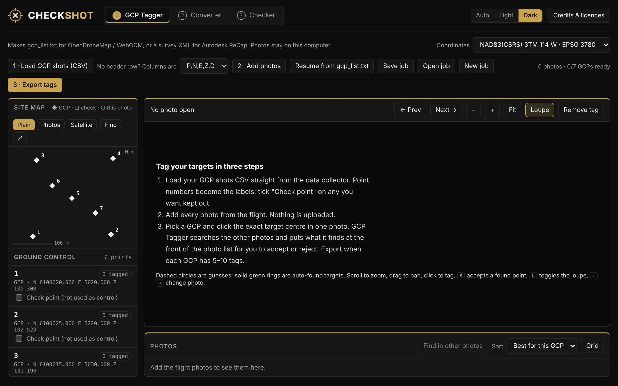
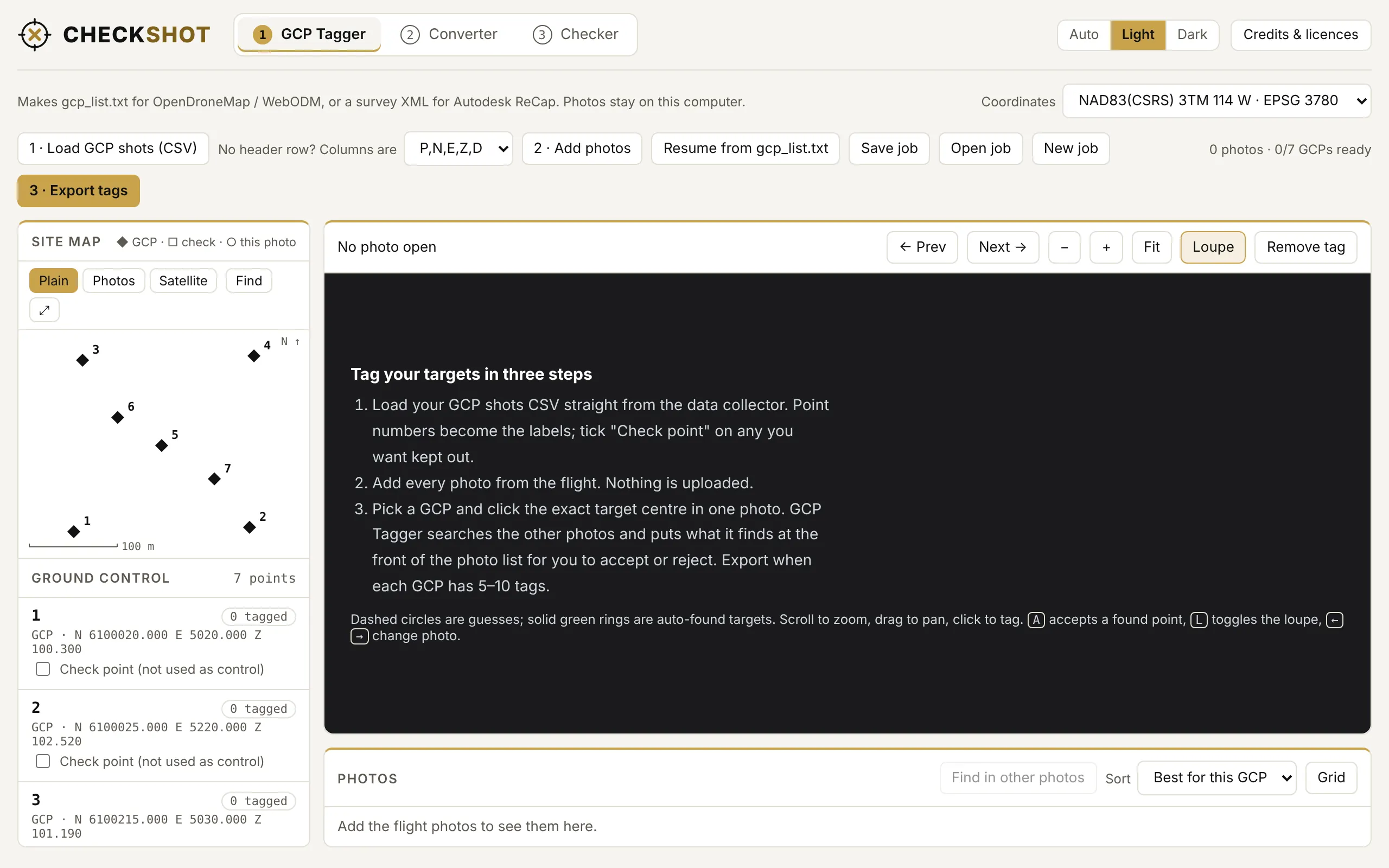
Tagger
- Writes
gcp_list.txtfor OpenDroneMap and WebODM, or survey XML for Autodesk ReCap. - Notices when your firm's grid is shifted from the true projection, says by how much, and remembers it.
- A point with no elevation is left out and named. Nothing is written with Z = 0.
- Tick any shot as a check point to keep it out of the control.